

This survey instrument allows for derivation of weights to be used for FHI where experts make judgments about the tradeoffs among indicators. Participants are asked to make a series of comparisons between 9 sets of indicators and then determine their preference as well as the strength of that preference.

This survey instrument has been developed to be administered to a group of regional experts familiar with water management issues in the basin. The instrument has been designed to correspond to 12 of the Governance and Stakeholder sub-indicators, containing between 3-7 questions each.

This indicator measures the degree to which current water flows have shifted from historic, natural flows. The webtool uses the time series data for current (or altered) as well as historic (or unaltered) flow or level data at one or more monitoring locations across the freshwater body as input to calculate the index.
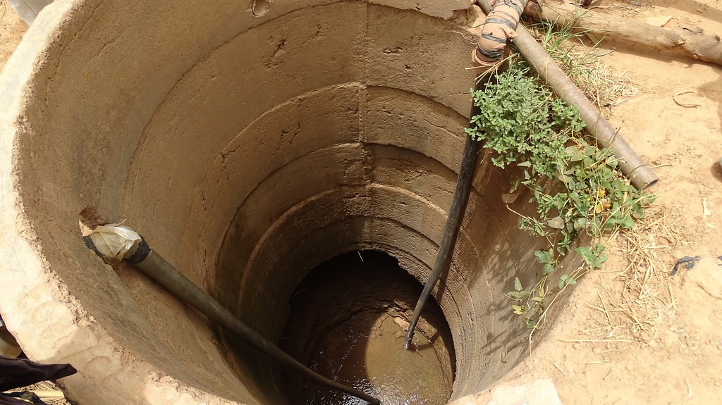
This indicator measures the changes in the availability of water stored in aquifers. Input required for this indicator are any information of potential areas with groundwater depletion. These areas can be identified using information from monitoring borewells, GRACE, land Subsidence studies, etc.
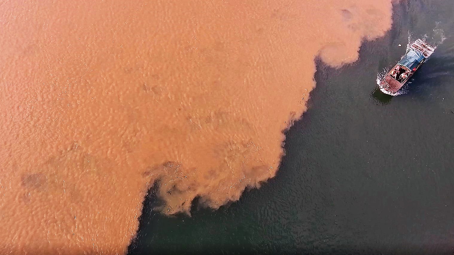
This indicator measures the state of water quality necessary for maintaining healthy aquatic ecosystems, rather than for human consumption. This index requires as input monitored water quality data for multiple parameters (such as TP, TN, DO and TSS) from the water body.
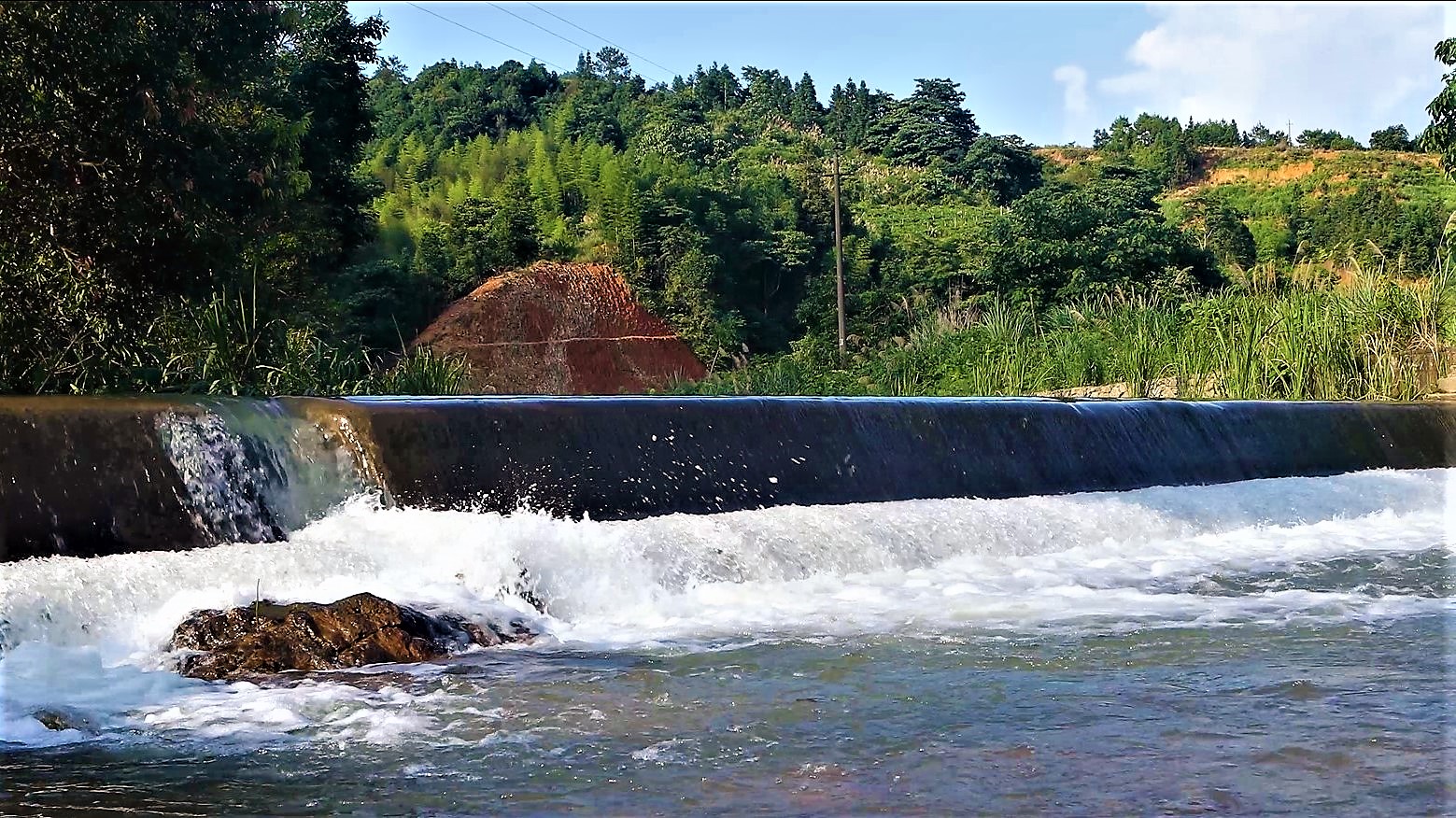
This indicator measures the fragmentation of the stream network, due to natural and human-made obstructions that affect movement of aquatic species. For calculating this indicator, the webtool needs the river network and the location of obstructions (such as dams) on this freshwater system.
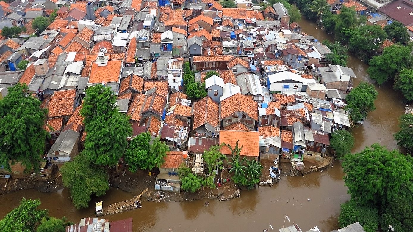
This indicator measures the percentage of channelization or human-caused disturbance to stream banks, affecting the size and effect of floodplains. As input, this webtool needs the land cover map and river network. Weights to different landcover types around the river are assigned via stakeholder consultation.
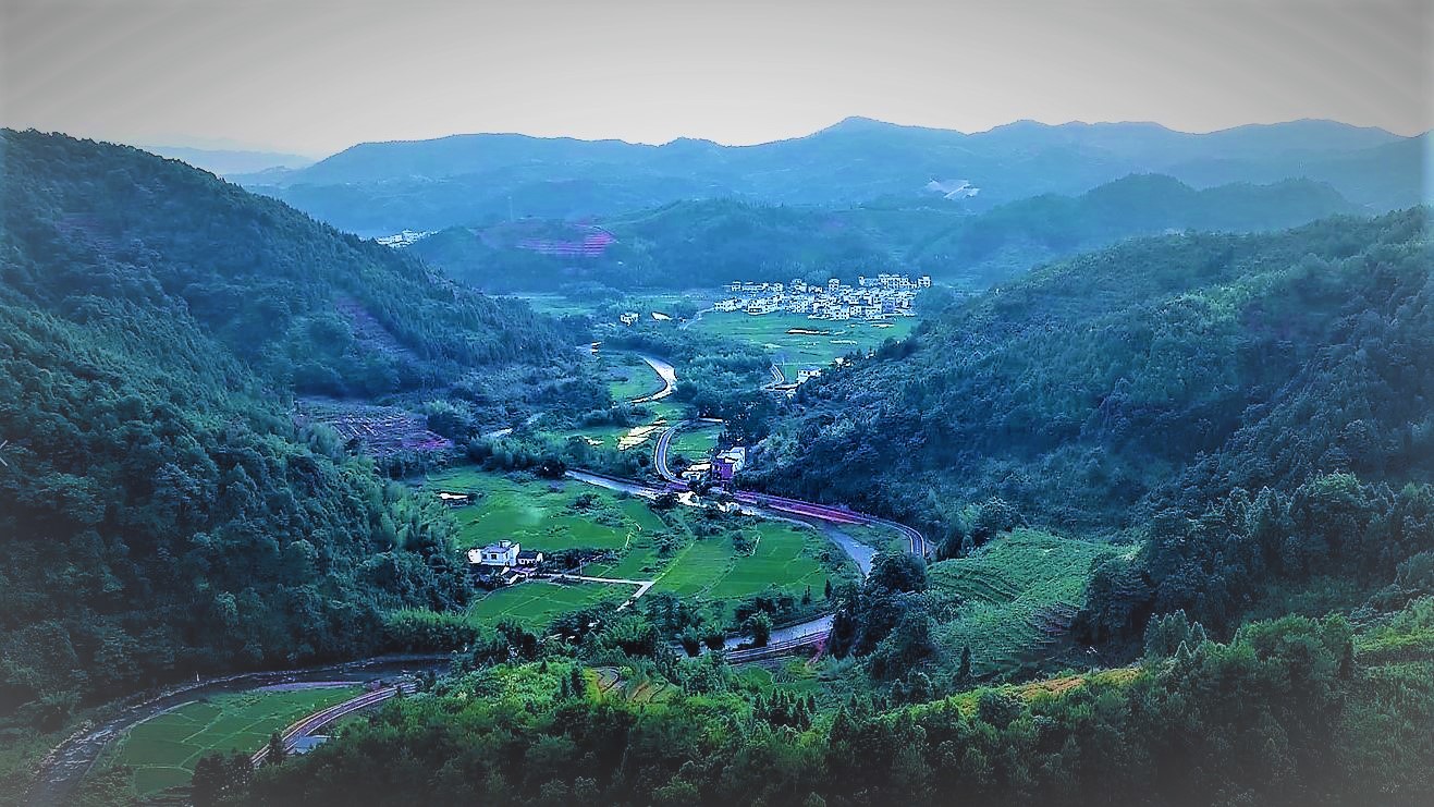
This indicator measures the alteration of the land cover from its natural undisturbed state or historic state. As input, this webtool needs the land cover map and freshwater basin outline. Weights to different landcover types prevelant in the basin are assigned via stakeholder consultation.

This indicator tracks population status and trends of species that depend on freshwater ecosystems in the basin, especially threatened aquatic or riparian species. The minimum input required here is the number of species under the different categories of the IUCN Red List assessments.

This indicator framework uses supply and demand data for various freshwater provisioning (physical outputs) and regulating (indirect benefits) services, and provides an estimate of the degree by which supply to a particular freshwater-related ecosystem service is perceived to be met in the freshwater basin.